Marree
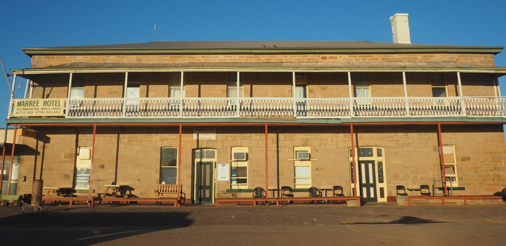
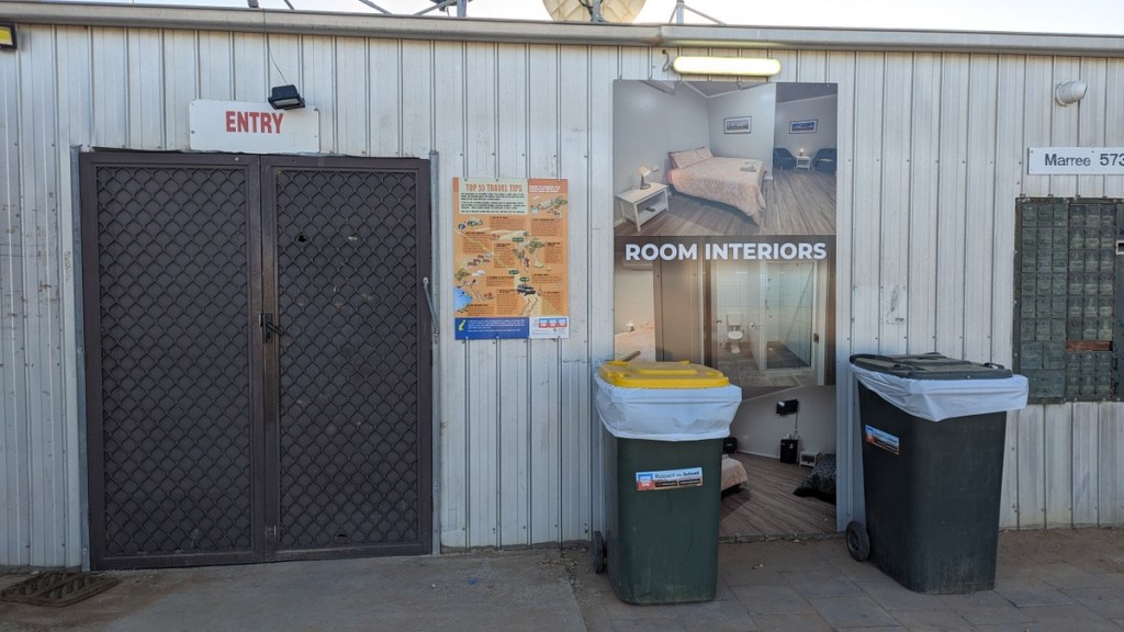
We checked into the historic, heritage listed, Maree Hotel for a one night stop over. Well, not the hotel exactly, one of the dongas / portacabins out the back of the hotel.
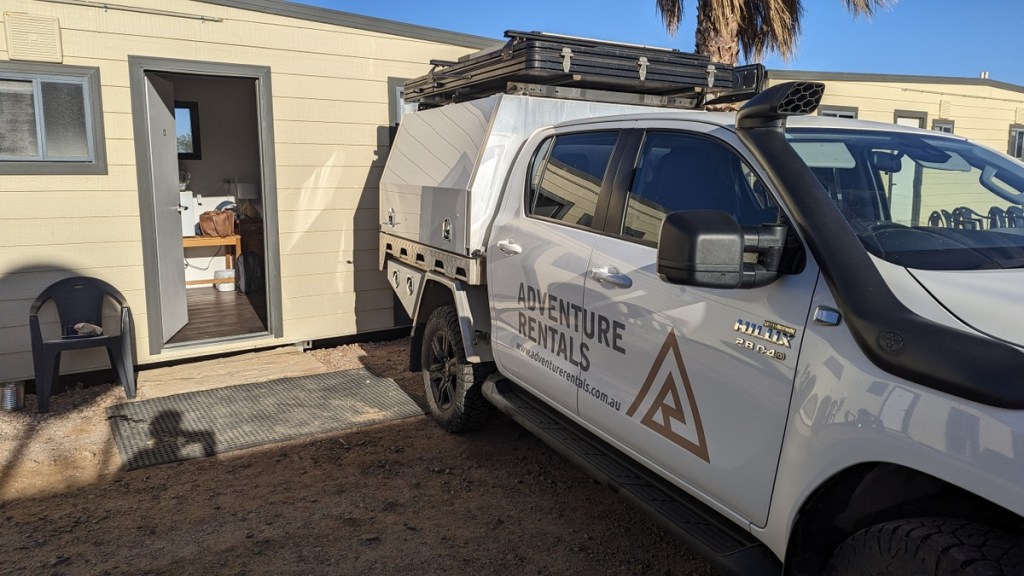
The room was comfortable enough but I couldn’t recommend it.

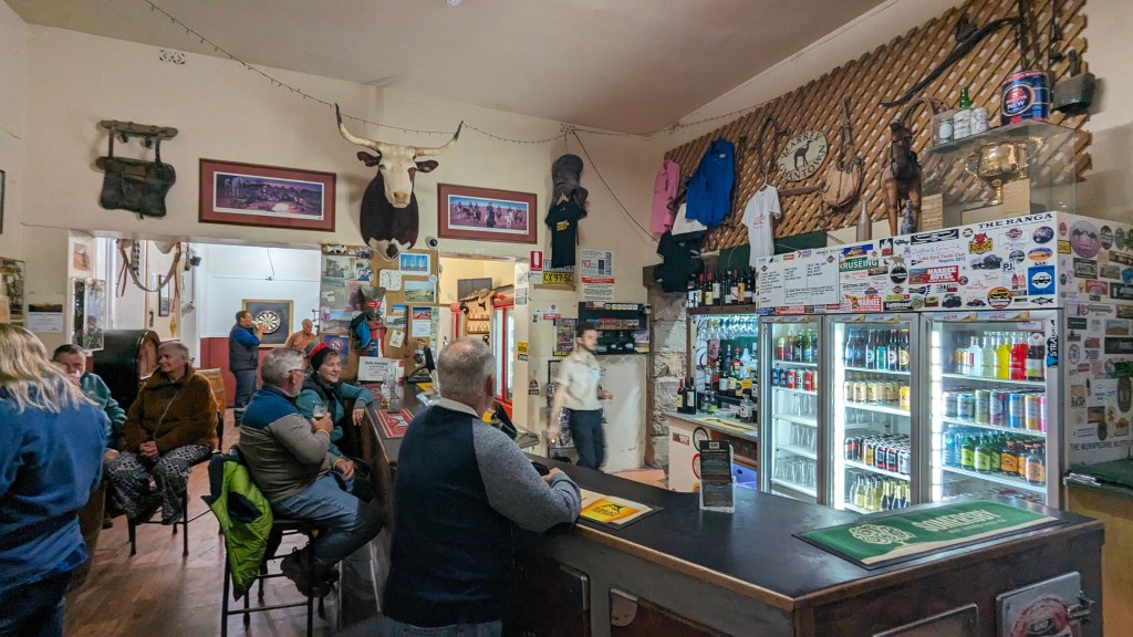
That night we had dinner in the hotel restaurant and it was reallly good.
The drive to our next stop, Wilpena Pond, was short, just 4 hours. Gave me some time to go for a bit of explore around the town before we left.

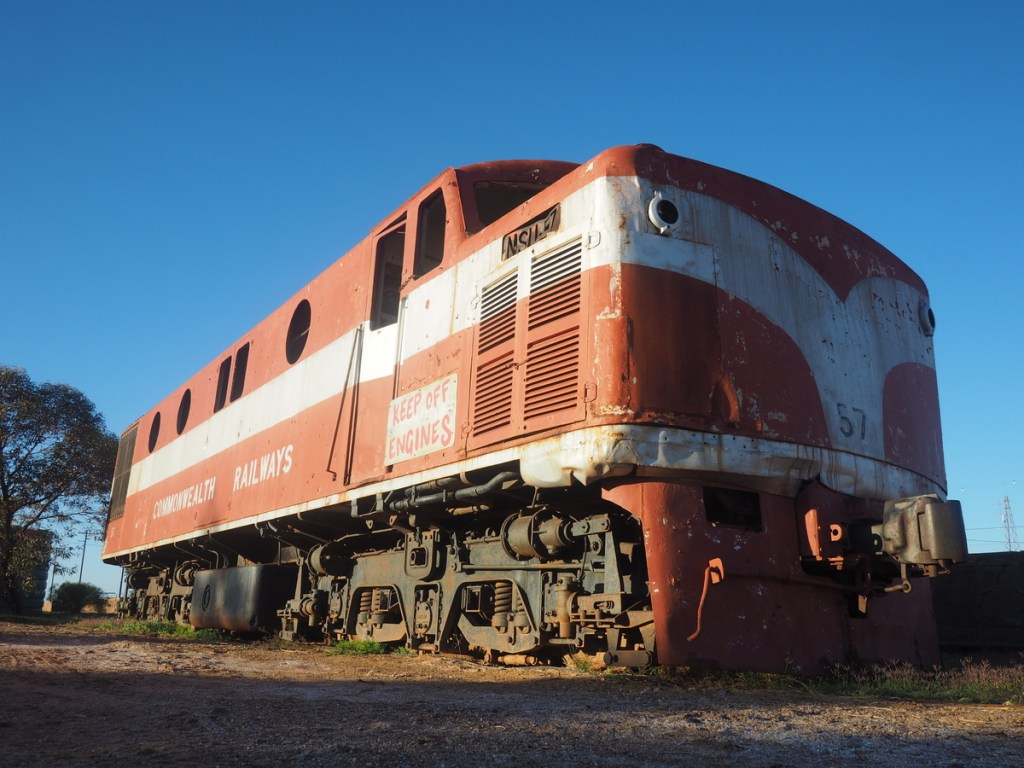
Marree became a significant railhead and a substantial town in the 1880’s when the Central Australian Railway reached the town. Unfortunately in the 1990’s the railway was rerouted and bypassed Marree. Its still an important service centre for the large sheep and cattle stations all around as well as a stopover destination for tourists traveling along the Birdsville or Oodnadatta Tracks
There is evidence of the previous significance of the railway abandoned all over the town.

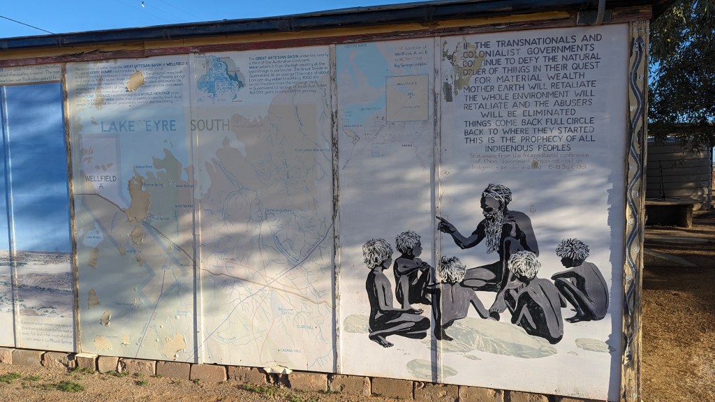
The area is the home of the Dieri Aboriginal people.

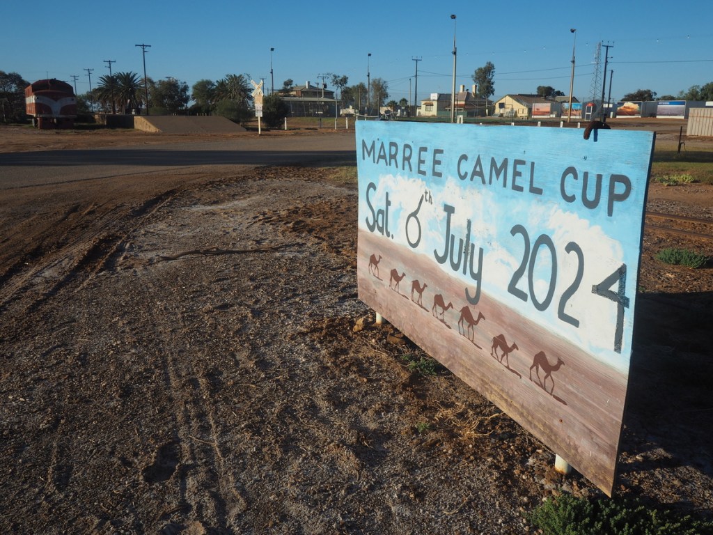
In the 1880s the town was home to Australia’s first known mosque — constructed by Afghan cameleers who made the outback town their home. While reading up about this history of Marree, the town’s former publican had the idea to create the Australasian Camel Cup.
Rural Australia has many stories of amazing characters. One such character from Marree is Tom Kruse. Esmond Gerald “Tom” Kruse MBE was a mail carrier on the Birdsville Track in the border area between South Australia and Queensland.

Kruse worked the Birdsville Track mail run from 1936 to 1957, driving his Leyland Badger truck. He delivered mail and other supplies including general stores, fuel and medicine to remote stations from Marree in north-west South Australia to Birdsville in far western Queensland, some 325 miles (523 kilometres) away. Each trip would take two weeks and Tom regularly had to manage break-downs, flooding creeks and rivers, and getting bogged in desert dunes.
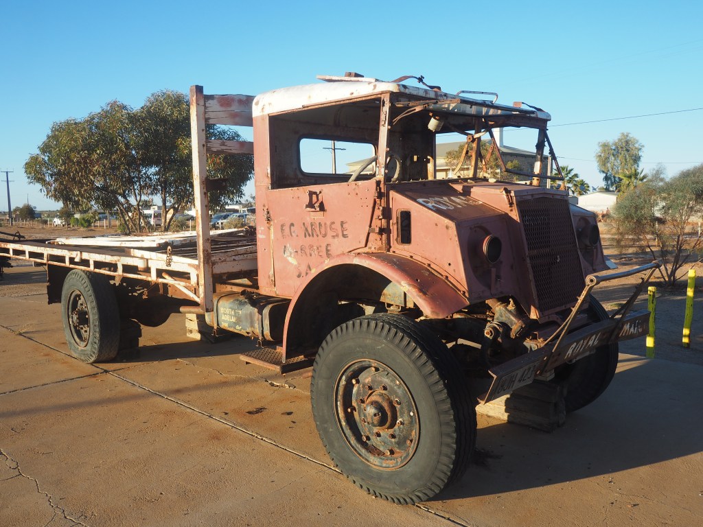
Kruse retired in 1984. In May 1986, South Australia’s 150th Jubilee, Tom re-enacted his run, with 80 vehicles joining in the northbound convoy. There was a second re-enactment in 1999, and in October of that year the Leyland was trucked to a few kilometres out of Birdsville so Tom could drive it into the township for celebrations. The next morning it was loaded with mail for “The Mail Truck’s Last Run” to Marree.

The Marree Hotel has a museum dedicated to Tom. The collection includes hundreds of photographs, documents and memorabilia from Tom’s Marree to Birdsville mail run.
Lake Eyre Yacht Club
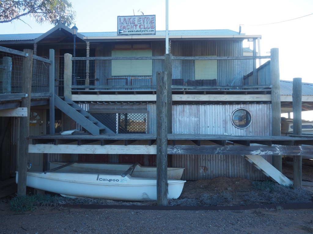
From Wikipedia: “The Lake Eyre Yacht Club is a dedicated group of sailors who sail on the lake’s floods, including recent trips in 1997, 2000, 2001, 2004, 2007 and 2009.[22] A number of 6 m (20 ft) trailer sailers sailed on Kati Thanda–Lake Eyre in 1975, 1976, and 1984, when the flood depth reached 3–6 m (9.8–19.7 ft). In July 2010 The Yacht Club held its first regatta since 1976 and its first on Lake Killamperpunna, a freshwater lake on Cooper Creek. The Cooper had reached Kati Thanda–Lake Eyre for the first time since 1990. It is estimated that these waters reach Lake Eyre roughly 8 years in 100. When the lake is full, a notable phenomenon is that around midday the surface can often become very flat. The surface then reflects the sky in a way that leaves both the horizon and water surface virtually impossible to see. The commodore of the Lake Eyre Yacht Club has stated that sailing during this time has the appearance of sailing in the sky.”
After the explore around Marree we set off on the drive to Wilpena Pound. The Ooodnadata Track turns from dirt to tarmac at Marree so we didn’t expect any issues.

A short distance from Marree is the Maree Stone Man. He stands about 2m tall and looks over the Oodnadata Track. We stopped to take a look.
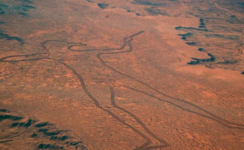
The Real Marree Man is a 2.7 kms tall geoglyph dug out of the desert sand near Marree. It depicts an aboriginal man weilding a throwing stick or boomerang. Its origins are unknown but what is known, because of satellite images, is it was created between May and June in 1998. It is one of the largest geoglyphs in the world and largely unknown outside of Australia.
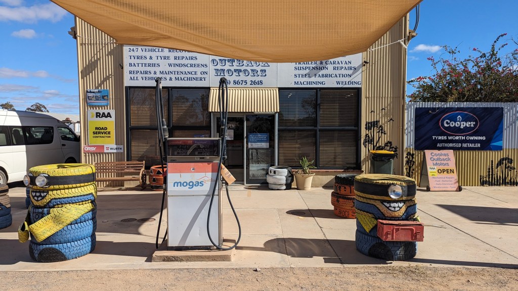
Not far down the road we filled up in Copley, at the Minions themed Outback Motors.

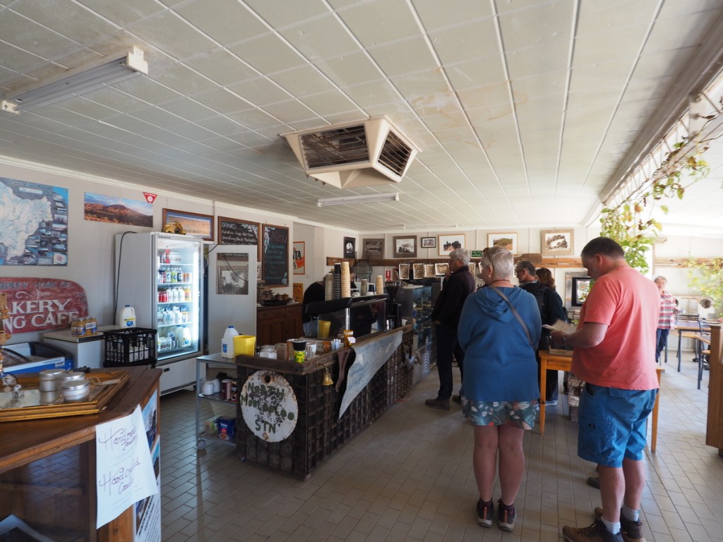
I craved a sausage roll. We tried to get food in Copley Bakery but after queuing up for ages we were told there was a power outage and the bakery ovens were out. We made snacks for the food in the fridge in the van and moved on. This tiny fact is relevant later on.
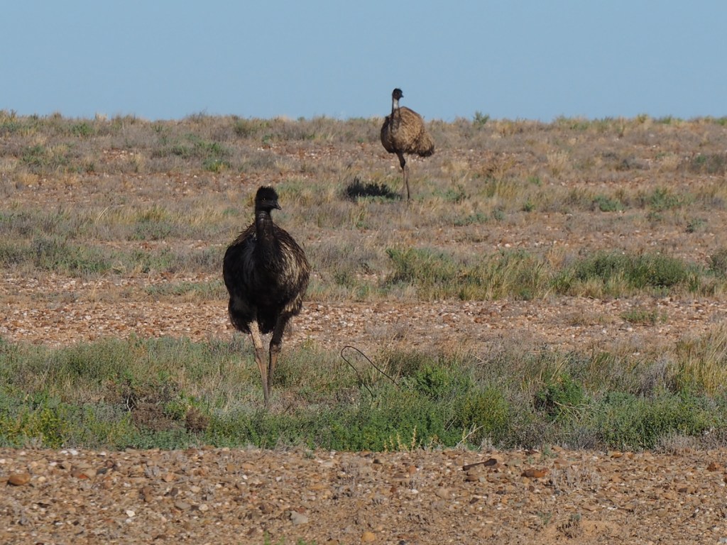
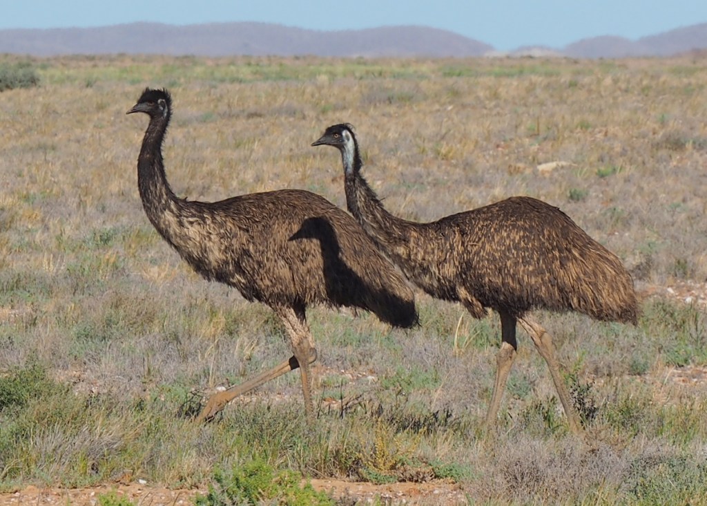
Not far out of Copley Jenni spotted a mob of emus on the horizon. We pulled over and Jenni performed her Emu attraction routine to bring them closer.

It really worked. A few of them came over to see what was going on.


A short drive later we saw this beautiful Welcome to Arabana Country sign

A bit of research for this blog uncovered that in 2012 Native Title was declared that recognises native title rights and interests over an area located in the central north of South Australia, covering approximately
68,823 square kilometres. The area encompasses Marree in the southeast, Oodnadatta in the northwest, and Lake Eyre and the Wabma Kadarbu Monnd Springs Conservation Park.
What we didn’t know at the time was we had been driving through Arabana Country for most of yesterday and today.
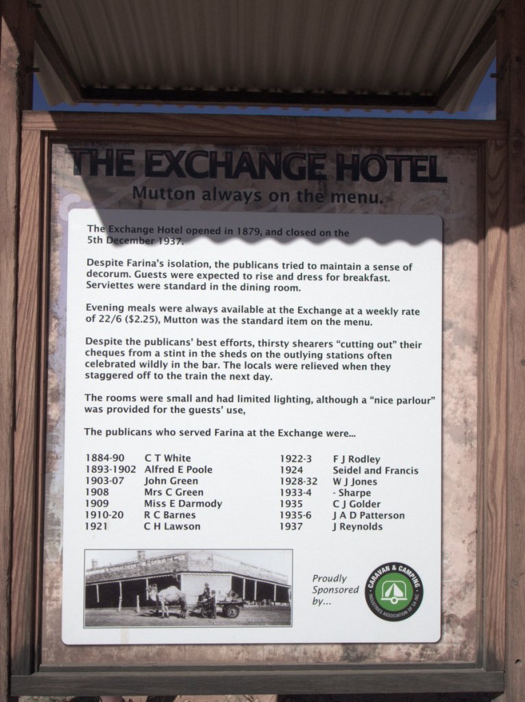
Farina
A sign for a town called Farina advertising a bakery beckoned us to turn off the main road. Sausage rolls ahoy.
It was then we discovered that Farina is an abandonded town.
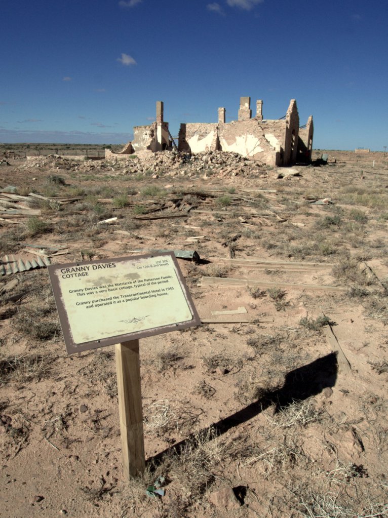


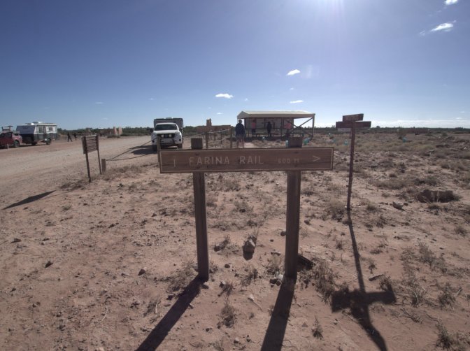
When the railway line moved, the town died, but then the Farina Restoration Project Group was formed.
https://farinarestoration.com/

Turns out the bakery has been restored but wasn’t due to open for another few days. I’d have to wait a while for that sausage roll.

I found Farina a fascinating place to vist and an even more interesting place to photograph. The lesson here for travelling is to always follow the sign for the bakery, even if its not open.
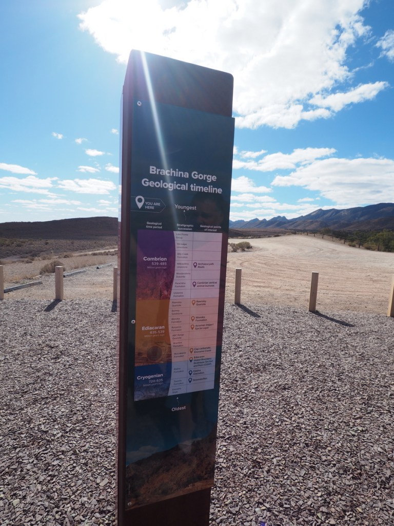
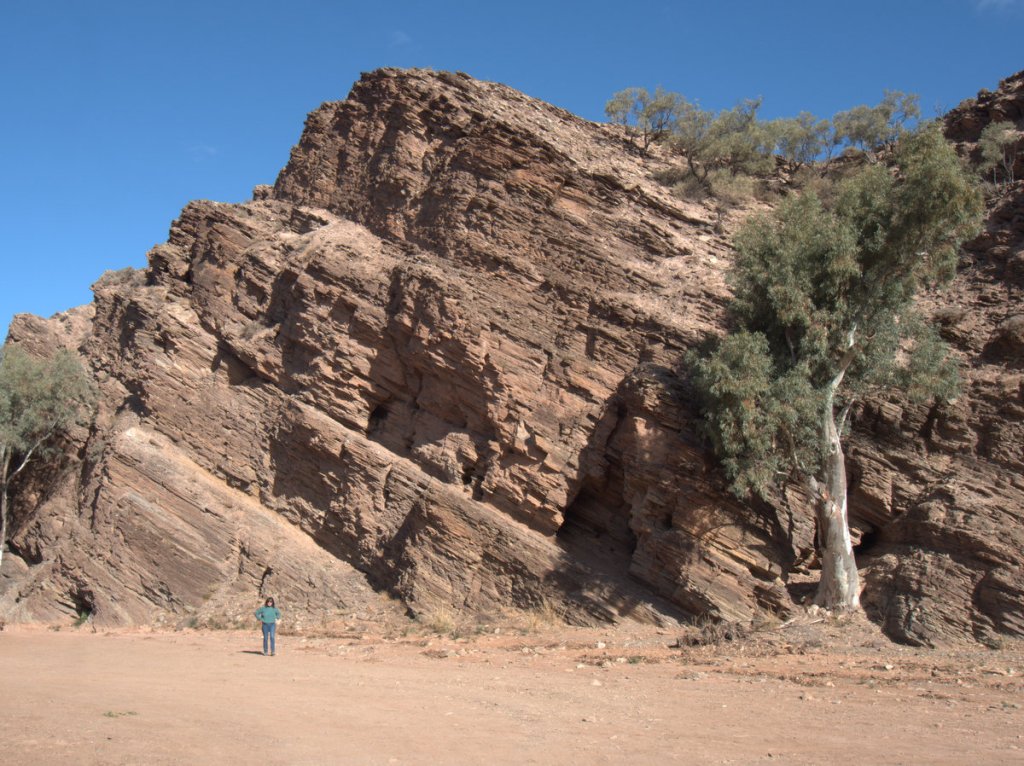
Brachina Gorge

Upon a more detailed investigation we saw that the Google maps directions took us across (or through) the Ikara-Flinders Ranges to get to Wilpena Pound. Turns out it was through the Brachina Gorge Geological Trail.
From the web site: “Brachina Gorge is home to some of Australia’s most significant geological and palaeontological records, the trail lets you discover million-year-old rocks, fossilised animal remains, sediment deposits and even debris from the impact of a large meteorite.”
It was a surprise and amazing exoerience and these pictures do it no justice at all.
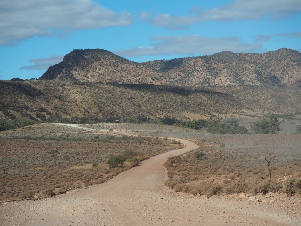

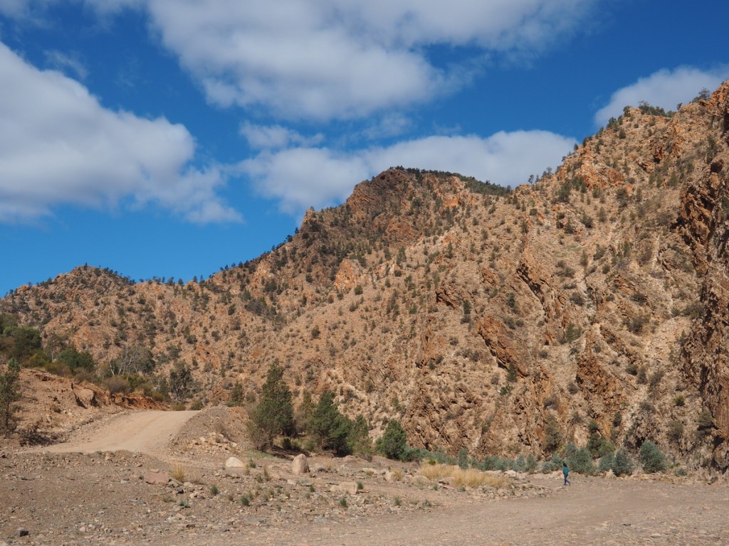

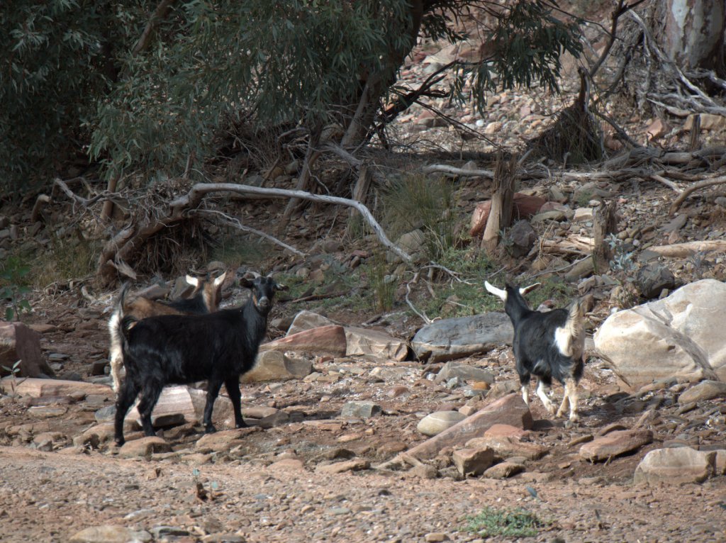
The road through the gorge demanded a 4×4 vehicle. There was no way it could be driven in any other type of vehicle. Andy was doing the driving and did a great job. We crossed a couple of creeks and up some very steep inclines then we entered a more open zone with some local wildlife.
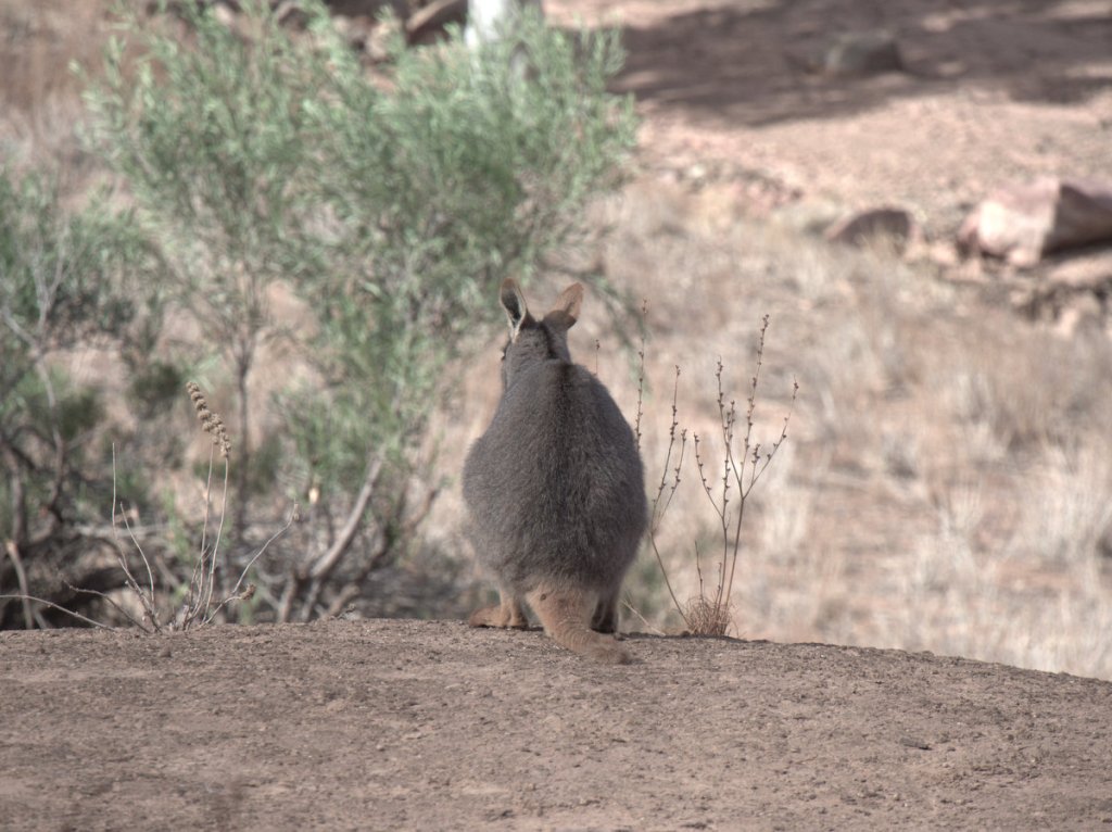
According to Wikipedia the Yellow Footed Rock-Wallaby avoids people and is usually hard to spot. So glad we were able to see these amazing and rarely spotted creatures up close.

These guys certainly were camera shy.
Just before we left the gorge a beautiful emu appeared right beside the truck. So close we could almost touch it.

The trek through Brachina Gorge was unexpected and one of the highlights of this great Australian Road Trip.
We made it through the gorge and through the mountains and turned onto the road to Willow Springs in Wilpena Pound where we’d booked in for two nights.

We were staying two nights at Wilpena Pound which gave us a whole day to explore the area but thats for the next blog.
